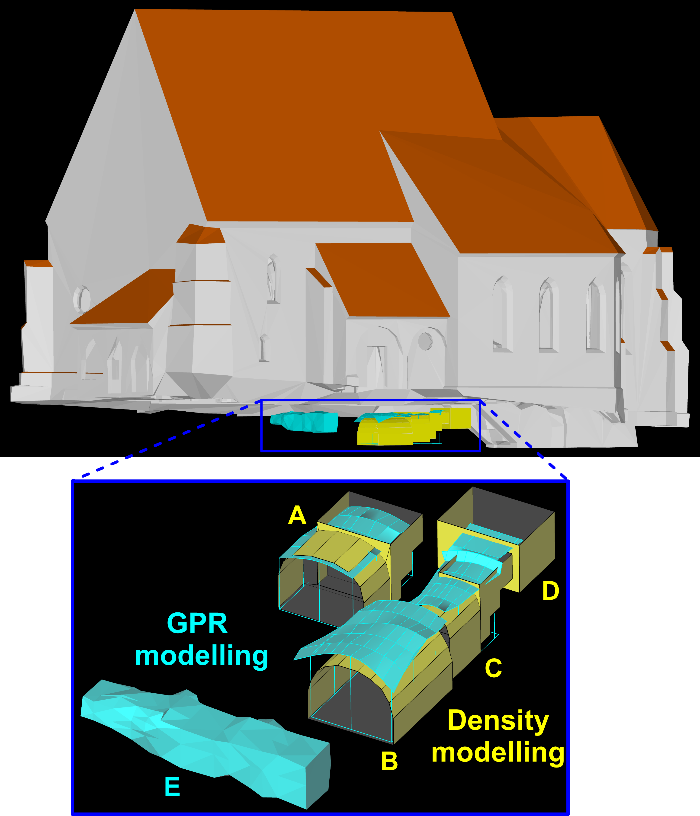
The implementation of geophysical methods in the monitoring of built heritage offers a valuable, non-destructive insight into the internal structure. We have shown that 2D geophysical images or quantitative interpretations in form of 3D models can be easily incorporated into virtual databases of documented built heritage contributing to the understanding of its historical development also by the public and non-experts. Such multidisciplinary approach to sense the present and past of our historic monuments contributes significantly to their documentation for future generations.
Jaroslava Pánisová1, Vladimír Pohánka1, Igor Murín2, Roman Pašteka2, Jana Haličková3 and Peter Brunčák3
1 Earth Science Institute of the Slovak Academy of Sciences, Bratislava, Slovakia,
This email address is being protected from spambots. You need JavaScript enabled to view it.
2 Department of Applied and Environmental Geophysics, Comenius University, Bratislava, Slovakia
3 Department of Graphic Documentation, the Monuments Board of the Slovak Republic
Full version of paper

