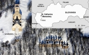
The ruins of the St. Catherine's monastery complex are an important example of Slovak cultural heritage. An integrated geophysical approach to detect and characterize subsurface archaeological features has been applied in the nave of the former church. The combination of microgravimetry and GPR is shown to be a very effective tool for such mapping. Results from 36 GPR profiles were visualized in the form of horizontal time-slices and vertical time-sections. Several gravity anomalies were found in the residual Bouguer anomaly map. Semi-automated interpretation techniques including the Euler deconvolution and harmonic inversion were used to investigate the depth and shape of anomalous sources.

