At first, synthetic density distributions represented by point mass anomalies were investigated. They produce the so called „dimple” patterns that enable the determination of the depth of a point mass anomaly. Results were published:
Vajda, P. and P. Vaníček, 1999. Truncated geoid and gravity inversion for one point-mass anomaly. Journal of Geodesy 73(2): 58–66 doi: 10.1007/s001900050219
Vajda, P. and P. Vaníček, 1997. On Gravity Inversion for Point Mass Anomalies by Means of the Truncated Geoid. Studia Geophysica et Geodaetica, 41(4): 329–344
Vajda P. and P. Vaníček, 2002. The 3–D truncation filtering methodology defined for planar and spherical models: Interpreting gravity data generated by point masses. Studia Geophysica et Geodaetica, 46(3): 469–484
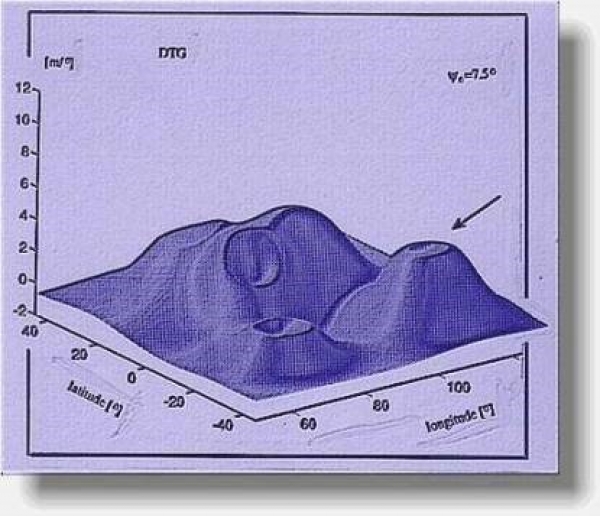
Next, more realistic density distributions representing real geological settings are to be studied. In the future we want to study faults, salt domes, and other relevant geological formations. The synthetic modeling consists of (1) selecting a geologically relevant model, given by a geometry and density distribution, (2) computing synthetic gravity data generated by our model (forward computation). Next, (3) the modeled surface gravity data are filtered by the said truncated integral transforms, with a preselected kernel, for a sequence of values of the truncation (free) parameter. The output „post-filter” data are then animated as sequences of profiles or sequences of 3D surfaces. The animated sequences are visually inspected for the occurrence of dynamic patterns. The association of patterns with the features or elements of the given geological model is studied. A quantifiable relation between the behaviour of the found-out dynamic pattern and the depth to a feature of the geological formation is sought. This is a highly subjective detective work dependent on the skills of the interpreter. The procedure is repeated for various simplified geological scenarios that are relevant to exploration for resources such as hydrocarbons and other, or for tectonic studies.